By Meteorologist Joe Martucci
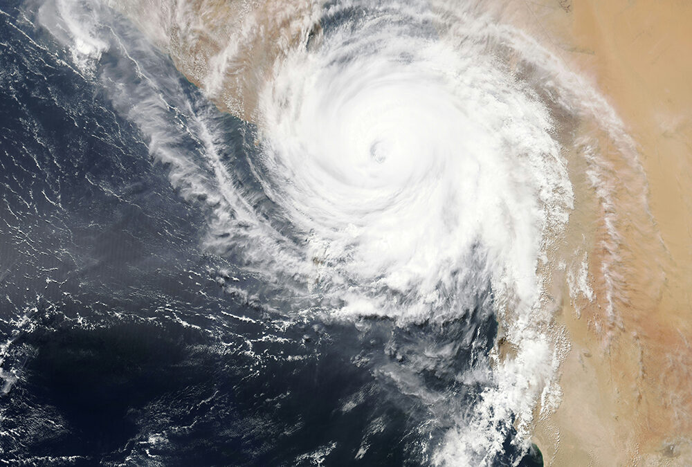
Expect a more-active-than-usual hurricane season in 2025, with a greater-than-average chance of a strike, or near miss in New Jersey.
That’s the takeaway from Colorado State University’s hurricane forecast, which was released at the National Tropical Weather Conference in South Padre Island, Tex. on April 3.
You’re probably wondering why a landlocked state like Colorado would have any interest in hurricane forecasting. That can be credited to the late William Gray, who came to the university in 1961 and pioneered tropical forecasting in the 1980s. Philip Klotzbach, his student, took over for him in 2006 and has done it ever since.
Here is a look at the forecast, as alongside the climate average.
Named Storms: 17, Avg. 14.4
Hurricanes: 9, Avg. 7.2
Major Hurricanes: 4, Avg. 3.2
There’s also another factor called the Accumulated Cyclone Energy (ACE), which measures the combined strength and duration of tropical cyclones in a season, calculated using wind speeds from each storm’s six-hour updates. This year, the first is 155. That’s 150% above the average.

This is the first of what will be a few forecasts throughout the hurricane season, which runs from June 1 to Nov. 30. So, like a regular weather forecast you would see from me, the closer you get to the season, the more correct it will be.
“The authors do note that the initial April forecast historically has the lowest level of skill of CSU’s operational seasonal hurricane forecasts, given the considerable changes that can occur in the atmosphere-ocean,” the press release from Colorado State reads.
Colorado State University studies years that had weather patterns like 2025 to estimate what might happen next. They checked six years and found that the average number of hurricanes and big hurricanes – ones in Categories 3, 4, or 5 – was a little more than usual. The ACE, which measures how strong storms are and long hurricanes last, was also higher than normal.
All of those six years had two things in common: First, waters in the Tropical Atlantic Ocean were warmer than average. Warm water, specifically, temperatures at or above 80 degrees, provides the fuel needed for storms to develop and blossom into hurricanes.
Second, the El Niño Southern Oscillation will either be normal or in a La Niña phase during the busiest part of hurricane season, which is August to October. The El Niño Southern Oscillation shows whether the water temperatures in the Pacific Ocean near the equator, off Peru’s coast, are higher or lower than usual.
In El Niño, hurricanes are less likely to occur. That’s because the wind shear – change of wind direction as you go up in height – increases in the Tropical Atlantic Ocean, where storms form. That rips these storms apart.
In La Niña, the opposite occurs. There’s less wind shear, providing developing storms with a more relaxed environment in which to strengthen.
In reality, the most likely situation is that things will be pretty normal. The water in the Equatorial Pacific Ocean would be about average in temperature. But when you mix that normal state with the warmer-than-usual temperatures expected in the Atlantic Ocean, it leads to a forecast that’s higher than normal.
Of course, it only takes one storm near us for it to be remembered as an active season. That’s where Colorado State’s forecast shines. They are able to forecast the chances of a tropical storm, hurricane or major hurricane being within 50 miles of a state’s coastline.
For New Jersey, it’s a slightly higher than average chance.
Named Storm: 28%, Avg. 23%
Hurricane: 9%, Avg. 7%
Major Hurricane: 1%, Avg. 1%
So it’s still a low chance that we see a direct or near-direct hit. Usually we receive a soaking rain of one or two remnant storms. The exception was last year, and that was a problem. That helped lead to our ongoing drought, and was mostly responsible for October, 2024, being our driest month, statewide, since records began in 1895, according to the Office of the New Jersey State Climatologist.
We’re still weeks away from hurricane season, but now is a good time to prepare. Do you have a “go bag” filled with water, medication, a light source and pet supplies? Is your flood insurance up to date? Do you know where you would go if you needed to evacuate?
Hopefully we won’t have to face such an emergency this year. However, like anything in life, preparation is key.
Joe Martucci, a Certified Broadcast Meteorologist and Digital Meteorologist, is the President and Director of Meteorology for Cup A Joe Weather and Drone. You can connect with him at cupajoe.live.


