By Meteorologist Joe Martucci
The cold December finally produced a snowstorm at the South Jersey shore on Monday and another one is highly likely on the way this Saturday.
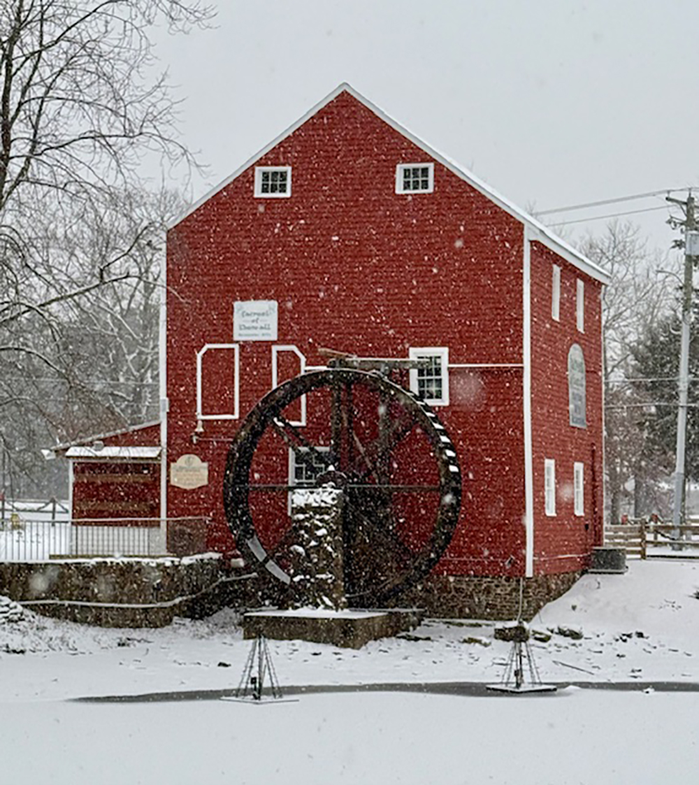
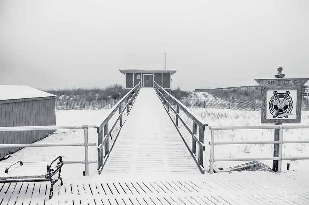
Monday’s snow was a South Jersey Snow Special, no doubt about that. Lower Township, in Cape May County, picked up the most snow, statewide, with 9.7 inches at the Cooperative Observer Station there, which has been in place since 1894. The last time Lower Township had the most snow out of the major weather reporting stations in the state was March 3-4, 2016, according to Alex Staarmann of the National Weather Service in Mount Holly.
Beyond the major reporting weather sites, Somers Point picked up 5.8 inches, Woodbine picked up 5.3 inches and Brigantine picked up 4.4 inches.
However, you didn’t have to go too far for snow totals to drop off. Hammonton reported 1.6 inches of snow. Stafford reported only 1.1 inches in Ocean County. This was really a snowstorm for all of us in our Shore Local region and here only.
Typically, the South Jersey shore’s snowstorms are really a messy mix of rain, sleet, freezing rain and snow. Not this time, though. It was cold enough to snow in the state from start to finish. It was just a matter of how much precipitation there would be to determine snowfall totals.
With the cold comes the dry air. You needed lip balm in the days leading up to the storm. With such little moisture near the surface, the storm would need to moisten up the atmosphere first in order for snow to fall.
Once you were north of Route 30, there wasn’t enough moisture on the northern fringes of the storm to overcome that dry air effectively. So, totals were much less. In this west to east moving low pressure system, our snowfall totals were more in line with Baltimore (4.5 inches) or Washington D.C. (6.3 inches at American University).

Credit: Towne of Historic Smithville
Not to mention, strong winds out of the west-northwest blew on Tuesday, in the wake of the storm. Atlantic City and Cape May both gusted over 45 mph. Thankfully, there were no widespread power outages. However, it reduces visibility, making it tough to drive, bike or walk safely.
Now, another snow threatens on Saturday. This will be from a Miller A coastal storm, with originates in the Gulf of Mexico and moves northeastwards. With this whole week being mostly below freezing, there will be nearly to all snow.
The center of the low-pressure system will track to the south of the Jersey Shore. However, the question at the time I’m writing this is how far south?
Most of the forecast guidance supports a solution far enough south for just a glancing blow. Light snow falls for a few hours from 5AM-2PM Saturday. Up to two inches would be likely for Atlantic and Cape May counties in this scenario. I’m on board with this as the favored track, too.
However, a northerly track would put us closer to the heavier precipitation, and snow. Snow would fall nearly all-day Saturday, with blowing snow from gusty winds. Totals would be the same as Sunday. Generally, it’d be four to eight inches for Cape May and Atlantic counties. There would be a sharp cut off to lower snowfall totals to the north.
The good news is, in either scenario, coastal flooding is not likely with these.
Joe earned his Meteorology Degree from Rutgers University. He is approved by the American Meteorological Society as a Certified Broadcast Meteorologist and Certified Digital Meteorologist, the only one in the state with both. He’s won 10 New Jersey Press Association Awards. You can find him on social media @joemartwx


