It’s a story that is told often in Cape May County.
You’re out by the water and you see storm clouds to the west. Your weather app on your phone flashes in bright oranges and reds, showing the heavy rain. It’s moving toward Ocean City, or Reeds Beach or Cape May Point.
But as the minutes go by the storm never comes. The radar turns light green, or maybe blank as the rain disappears.
That’s the Cape May Bubble at work, and there’s hard, scientific evidence that it’s a real phenomenon in the area. Compared to the rest of the state, the temperatures, and the number of thunderstorms and snow storms, are simply different here.
Cape May County geography matters
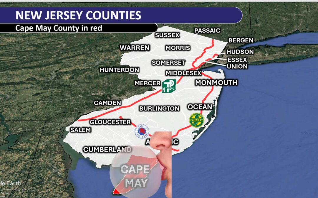
Cape May County is on a peninsula, surrounded by water on all three sides (Delaware Bay to the west, Atlantic Ocean to the south and east). Yes, New Jersey is also technically a peninsula, but the vast bodies of water around our southernmost county drive much of the weather we see.
Water warms and cools more slowly here. For the county, this means that towns stay cooler than most of New Jersey during the spring and summer. The extra water acts like extra air conditioning. Meanwhile, during the fall and winter, the county is milder than the rest of the state. County business leaders know this and over the years built tourism marketing campaigns based on it.
“Fall for the Jersey Cape” is one such slogan used in years past, promoting beach days into October, and plenty of comfortable days to explore the rest of the Jersey Cape. The result helped put Cape May County in second out of New Jersey’s 21 counties for tourism spending from 2021 to 2024, with $8.1 billion spent in 2024, according to the Cape May County Tourism office.
Between October and March, Cape May’s average temperatures are about 1 degree higher than Atlantic City International Airport in Egg Harbor Township, according to the National Oceanic and Atmospheric Administration. Data shows that Cape May air temperatures stay warmer through May, like the water on the peninsula’s three sides.
By June and July, temperatures in both places level out. In fact, Cape May has cooler high temperatures from around Memorial Day weekend until early August.
Cape May County has fewer thunderstorms
The Cape May Bubble phenomenon I hear about most often is fewer thunderstorms. Turns out, that’s true. Most of New Jersey experiences roughly six hours of heavy rain falling overhead between May and August — peak storm season.
The one exception? The Cape-May-to-Vineland corridor. Only four hours of that type of rain falls here, on average, according to research led by Frédéric Fabry, director of radar observation at McGill University in Canada.
If storms pass west to east, as they typically do, the relatively cooler Delaware Bay during these months stabilizes the storms, weakening them to below the thunderstorm threshold used in the Fabry’s study. Not only are there fewer thunderstorms, but they occur later in the day, on average.
Cape May County, along with Atlantic and southern Ocean counties, has a preferred thunderstorm time of 6 to 8 p.m. The rest of the state is between 4 and 6 p.m.
Thunderstorms can happen any time of the day, but fewer and generally later thunderstorms lead to more time outside. That means a healthier South Jersey Shore economy.
There is no scientifically proven reason for this. However, conversations with Fabry and Dave Robinson, the New Jersey State climatologist, in years past suggest that the near daily seabreeze influences the later timing.
The shape of the coastline runs southwest to northeast from Cape May to Long Beach Island. It’s then positioned south to north from Island Beach State Park to Sandy Hook. Furthermore, Cape May County is just more southeast. Storms begin many times during the day on the east side of the Appalachian Mountains. By the time they get to Sea Isle City, it’s later than the time they got to Philadelphia.
Cape May County has less rain
The southern (or lower) part of Cape May County is also among the driest in the state. Here’s a look at the average annual precipitation for our major weather reporting stations.
- Lower Township, Cape May County: 43.84 inches
- Atlantic City, Atlantic County: 43.62 inches
- Egg Harbor Township, Atlantic County: 45.96 inches
- Long Branch, Monmouth County: 52.53 inches
- Trenton, Mercer County: 45.63 inches
- Newark, Essex County: 46.60 inches
- Belvidere, Warren County: 48.21 inches
The reason, in part, for the drier weather is the water being on three sides.
Seabreeze fronts are common here from March to August. Once the seabreeze front passes from the coastline, inland, the air is more stable. That means it’s less likely to rain.
Furthermore, Cape May County is the county farthest removed from the process known as upsloping, which brings rain to the foothills of mountains. In this case, that’s the Appalachian Mountains.
Cape May County has less snow
Cape May County is the state’s flattest and southernmost county. Therefore, having the least amount of snow just comes with the territory. The long-standing Cooperative Observer Station in Lower Township averages 14.8 inches of snow in a year.
From December to March, snow season, the water temperature in Cape May Harbor is between 39 and 45 degrees, according to the National Oceanic and Atmospheric Administration. Nor’easters, and the northeast winds they bring, funnel this above-freezing ocean air into the county. How many times has Trenton or Hammonton been covered in 6 inches of snow, while Marmora or Ocean City barely has a flake? The relatively mild water is the reason.
Are there other bubbles in New Jersey?
Given the data, you can make the case that the Cape May Bubble is really an Atlantic City Bubble, a Somers Point Bubble and a Millville Bubble. This far southeastern corner of New Jersey experiences different weather than the rest of the state.
I had the opportunity to meet Fabry at the American Meteorological Society conference in Baltimore in January 2024. He still remembers when we first talked about the phenomenon in 2019. He was kind and laughed when I explained just how much people talk about the bubble down here.
Given Quebec’s deep-rooted history with tourism in Cape May County, it might be time we welcome him for a visit. Expect the storms to stay away if he comes.
Joe Martucci, a Certified Broadcast Meteorologist and Digital Meteorologist, is the President and Director of Meteorology for Cup A Joe Weather and Drone. You can connect with him at cupajoe.live.