By Meteorologist Joe Martucci
A little snow this past Sunday kicked off a week’s worth of well-below-average temperatures, which we will only get out of this Sunday.
A coastal storm impacted the Mid-Atlantic on Sunday. This wasn’t a strong coastal storm. There was no coastal flooding, and the winds weren’t all that strong.
However, it was still a low-pressure system that moved from the Deep South around Virginia Beach, and then just off the Nantucket coast.
Snowfall totals at the South Jersey Shore were light. Just 0.3 inches fell in Somers Point, and a trace was reported in Ocean City.
It snowed for several hours Sunday. However, temperatures were above freezing most of the time, which meant much of that snow melted on contact with the ground instead of accumulating.
Other parts of the state picked up more snow. Western Atlantic County saw 1 to 2 inches, and Northern Ocean County saw about that as well with northwest New Jersey seeing 4 to 8 inches.
I mentioned in my forecast that what happens after the storm would be more impactful than what happens during it, and surely came true.
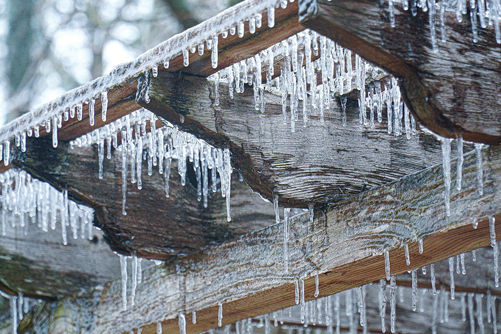
Temperatures crashed into the 20s, turning wet pavements and sidewalks into sheets of ice. That ice still hasn’t melted in spots as temperatures stayed below freezing Monday, Tuesday and Wednesday. At the time of this writing, it looks like temperatures were not going to go above freezing until Friday inland, perhaps just peaking at 33 degrees in the beach towns Thursday.
Either way, it’s been frigid. Atlantic City International Airport had a high temperature of 29 degrees Monday. On Tuesday, both ACY Airport and Sen. Frank S. Farley State Marina reached just 20 degrees for the high.
Tuesday was the coldest day since Dec. 24, 2022. It was 21-23 degrees below average – as cold as a typical Jan. 21 day in Caribou, Maine, in the far northern reaches of our northernmost state.
Morning lows were very cold as well. However, without a snowpack to accelerate the cooling at night, it hasn’t been exceptional. Lows generally remained 7-12 degrees inland, and 10-15 degrees at the shore.
This polar plunge was the result of the polar vortex. About two weeks ago, the polar vortex in the stratosphere, which is 8 to 31 miles above the surface, entered the Northeast, causing the jet stream in the troposphere, which is about 20,000 to 30,000 feet high, to become very wavy, moving in a more south-to-north fashion. The jet stream is the river of air that separates two air masses. In this case, it was mild air to the south and true polar air to the north.
Once Sunday’s storm passed, that jet stream dipped down into the Gulf Coast. Since we’re far north of that, we had a near uninterrupted path to the polar air.
Now as cold as it’s been, we didn’t break any cold temperature records. At the Atlantic City Marina, we needed to have highs in the 10s, with lows in the lower single digits. At Atlantic City International Airport, the lows needed to be below zero.
Getting below zero is tough and getting tougher. The last time the airport was below zero was Jan. 7, 2018, according to the National Oceanic and Atmospheric Administration. It’s been three years since we last set a minimum daily temperature record. However, we’ve set roughly two dozen maximum temperature records since.
The bitter cold will end this weekend. Temperatures will rise to seasonable levels Sunday, with highs in the 40s. It will feel like New Orleans compared to where we’ve been. However, maybe I’m speaking too soon, since that city just saw its biggest snowfall in recorded history on Tuesday.
Joe Martucci, a Certified Broadcast Meteorologist and Digital Meteorologist, is the President and Director of Meteorology for Cup A Joe Weather and Drone. You can connect with him at cupajoe.live.


