Weather
By Dan Skeldon
The clock is ticking on the summer of 2022, with Labor Day right around the corner. And for South Jersey, it will most notably go down as a warmer than average and drier than average summer, with more cold ocean water than we’d like to see off of our beaches during the worst of the heat and humidity.
But the hottest stretch of the summer is likely behind us, when 18 of 23 days were above 90 degrees between July 18th and August 9th. Our attention will now likely turn to the increasing dryness, not only in South Jersey but throughout the entire Northeast Corridor from Delaware to New England, where it’s at best abnormally dry and at worst an extreme drought.
For South Jersey, it’s thankfully the former, as we’re classified as “abnormally dry” on the weekly drought monitor map, which looks at rainfall, soil moisture, and other factors when assessing just how dry an area is. To our north over North Jersey and to our south over lower Delaware, there is a “moderate drought”, the first of five drought stages that start at moderate and progress to severe, extreme, and finally exceptional. While the latter two are all too common out west but fairly rare here on the East Coast, parts of Massachusetts and Rhode Island indeed find themselves in a rare “extreme drought” in the latest update, with rainfall deficits over 10 inches in the last six months.
We’re not faring nearly that bad here in South Jersey, but it has been dry of late. Our rainfall deficit for the summer at the Atlantic City International Airport is around 3 inches. But eastern Atlantic County also got a very localized 3 to 4 inches of rain during some flash flood inducing thunderstorms on July 25th. Outside of areas struck by those storms, it’s been even drier and rainfall deficits are higher, 5 to 6 inches in spots.
Keep in mind summer is often one of the wetter times of the year in South Jersey, as warmer and humid air carries more moisture, and downpour producing thunderstorms are more common. While we’ve been hot and humid throughout the summer, thunderstorms haven’t been as common as normal, hence the drier overall pattern.
As we head into fall, it’s naturally a drier time of year, and often the dry, comfy, and pleasant weather of September and October is why it’s on the top of many of our lists (myself included) as the best time of the year at the shore. But barring any tropical mischief, summer dry spells don’t usually get better and often worsen in the early fall.
Of course, as past columns have addressed, we’re still forecasting an above average hurricane season, with more storms than normal expected in the Atlantic from late August through October. As the remnants of Ida so tragically proved last year (10 inches of rain in a matter of hours in spots), tropical systems can put a big dent or even end dry spells. But it comes with a price that’s often too steep to pay for the needed rain, and it’s better to make up the rain an inch or two at a time with a few good steady soakings. Whether or not the tropics heat up is yet to be determined.
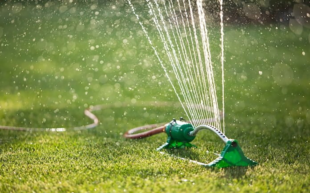
So what if the dryness persists, or the North Jersey or Delaware drought expands into our backyards? Well, increasingly brown lawns are usually the most common sign. Expect higher water bills for those with flower or vegetable gardens, and increased irrigation costs for farmers to keep their crops watered. Trees can show a little of faint premature color, due to the stress of the dry weather, and even experience a little early loss of leaves. If the dryness continues into the fall foliage season, the intensity and duration of the color can also be impacted. But let’s not get too far ahead of ourselves. Water restrictions aren’t immediately likely, as it takes a while to get into a drought and to get to that point. Of course, it normally takes a while to get out of a drought too once we are there too.
While the Northeast and especially the western half of the country wrangle with drought, areas in between deal with once-in-a-lifetime flash flooding, like recent floods in Kentucky and West Virginia illustrate. Internationally, drought has enveloped much of Europe, as rivers dry up during one of the hottest and driest summers on record.
So yes, it could be much worse here in South Jersey. But remember that both increased droughts and floods are another result of our changing climate, one that we’ll have to adapt to as we’re capable of seeing both here at home. For Atlantic and Cape May counties, it’s an extreme flood that is more likely than an extreme drought, as much as we hope that we won’t have to contend with either for decades to come.
Meteorologist Dan Skeldon has a degree in meteorology from Cornell University. He has forecasted the weather in South Jersey for the last 18 years, first on the former television station NBC40 and then on Longport Media radio. Dan has earned the American Meteorological Society Seal of Approval for Broadcast Meteorologists, and now does television broadcasts on WFMZ-TV in Pennsylvania’s Lehigh Valley.


