Weather
By Dan Skeldon
It’s only mid-October, and we’re not quite to the part of fall where all the leaves are brown and the sky is gray. Although admittedly, we’ve sure had our fair share of gray days at times this season.
However, if you’re autumn dreaming on an October day, any fall-ish feel has been just that, a dream, since the season began back on September 22nd. Well, except for a brief glimpse of some crisp fall weather on fleeting occasions.
We’re now more than three weeks into fall, and there have been 6 days with highs surging past 80 degrees, and another 6 days with highs reaching at least 75°. True, we’re not exactly breaking record highs. But temperatures have been consistently warmer than average so far this autumn, both day and night. Typical early fall nights run in the low to mid-50s in late September and ease deeper into the 40s come October. But so far this season, there have only been two nights that qualify as cool, when overnight lows did drop into the mid to upper 40s. That means frost has not been a concern to date. But is that unusual?
The answer: not that unusual, at least not yet. Let’s remember a frost isn’t a freeze, when temperatures drop below the freezing mark of 32 degrees for several hours, ending the growing season. A frost can and does occur with above freezing temperatures, most commonly with overnight lows from 33 to 37 degrees. So at least for this column, let’s use that 37° mark as the magic number.
At the Atlantic City International Airport (ACY), the average date of the first night when temperatures drop to or below 37 degrees over the last 75 years is October 10th, a date which we just passed last weekend. But of course, there is a wide range of possible dates that may see the first frost, depending on the year and the prevailing weather pattern. The earliest date of our first 37-degree low at ACY was September 14th, back in 1975. Conversely, the latest we had to wait for our first fall frosty morning was back in 1946, when the first 37° low waited until November 5th that year.
So if we’re into early November and there’s still no frost, then we enter unusual or even unprecedented territory. But we’re not there yet. However, we’ve been trending in that direction over the last decade or so. Since 2010 and the more pronounced warming of our climate, the average date of our first frost has been getting later. Since 2010, that average first frost date has slid back 11 more days from October 10th, the date listed above, to October 21st. It could be an unusually warm decade and just a blip that will eventually self-correct, or it could be the start of later frosts, later freezes, and later snowfalls. As always, time will tell.
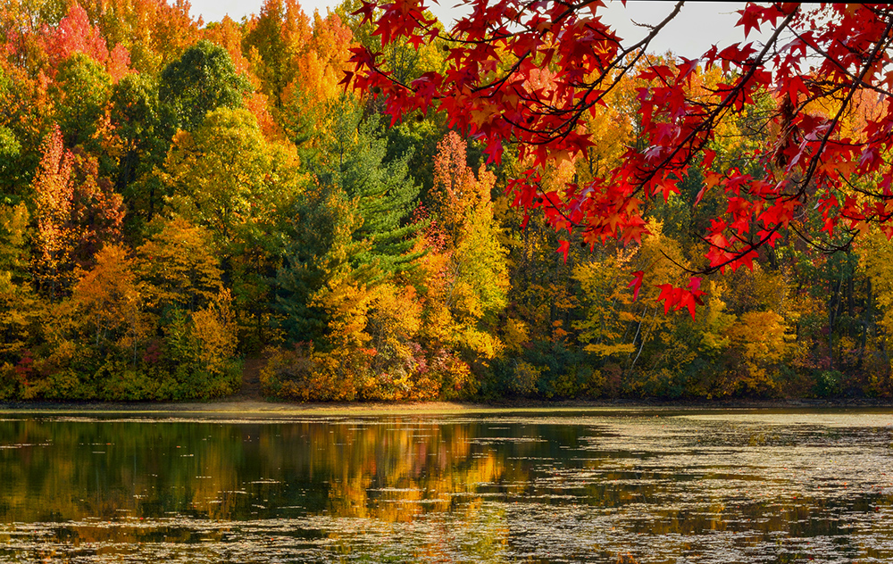
For now, the consistent warmth across the Northeast and Mid-Atlantic so far this fall means that the growing season continues for those that want it. It may also mean a slightly delayed fall foliage season this year. The brightest and “peak” fall colors could be a little later than usual, and that overall peak may be somewhat out-of-sync, where some trees turn brilliant colors while others remain a steadfast green.
In this case, I speak from personal experience and observation after a Columbus Day weekend trip to the Poconos. Yes, there is some brilliant color, and that color change is slowly progressing south as it does every fall. But it does seem to be slower than usual this season, due in large part to the lack of sustained cool air and crisp and frosty nights. And if it’s a little slower to peak in the higher elevations up north, it’s likely going to be a little slower to change and peak here in South Jersey as well. Now, trees take their cues to change color from other factors besides the weather, like the shorter days and longer nights for instance. So the fall color may be delayed, but it’s never really denied. That delay may push our South Jersey peak, which normally occurs around or after Halloween, back a bit further into November.
Perhaps there is some truth to the ideas that were laid out in one of my columns from last month. If our climate is indeed changing, maybe our seasons are shifting, perhaps slightly, perhaps more significantly. It will be interesting to watch the seasonal trends going forward to see if those shifts do indeed continue. In the meantime, it should start to finally feel more like fall with some consistently cool weather into next week.
Meteorologist Dan Skeldon has a degree in meteorology from Cornell University. He has forecasted the weather in South Jersey for the last 18 years, first on the former television station NBC40 and then on Longport Media radio. Dan has earned the American Meteorological Society Seal of Approval for Broadcast Meteorologists, and now does television broadcasts on WFMZ-TV in Pennsylvania’s Lehigh Valley.


