Weather
By Dan Skeldon
It may have been April Fool’s Day, but Mother Nature certainly wasn’t in the joking mood.
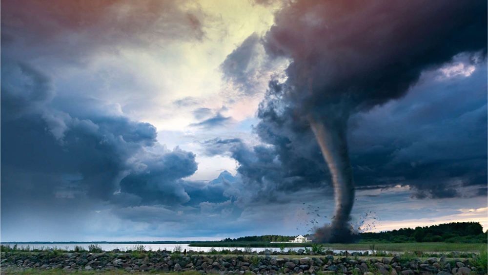
She launched a Saturday severe weather salvo on the Garden State as the month began, spawning seven tornadoes across central and southern New Jersey, including one in Mays Landing. Those seven tornadoes are tied for the largest single-day tornado outbreak in the state since 1950, which is as far as statewide tornado statistics date back. All of them were at least EF-1 tornadoes, with winds of at least 100 mph or greater.
Coupled with an unusually strong and rare February EF-2 tornado with 115 mph winds that struck Mercer County, 2023 is off to an especially active start in terms of severe storms. The traditional peak for severe weather season is usually later spring to mid-summer here in the Garden State, usually from late May through early August. Now an active start doesn’t necessarily portend an active peak season. But it does raise a few questions, some of which I raised in a not-too-distant weather column several months ago. However, our torrent of twisters makes it worth another visit.
First, let’s dispel any fears that New Jersey is becoming a new tornado alley of sorts. It’s been a destructive start to tornado season nationwide, especially in the south, and the Deep South and Great Plains will always be ground zero for the most frequent and most deadly tornadoes. The most destructive tornadoes, rated EF-4 and EF-5 on the Enhanced Fujita Scale with winds over 170 and sometimes even over 200mph, have never been observed in New Jersey and the chances are very slim that they ever will. The closest EF-4 tornado in recent memory struck La Plata, Maryland, a small community south of Washington DC, back in 2002. EF-3 tornadoes, with winds as high as 160mph, are likely our top possibility, like the one that struck Harrison Township in Gloucester County a few years ago.
Second, we’ve seen active stretches in terms of tornadoes in the past. Most notably, the four year span from 1987 through 1990 saw 37 twisters touch down in New Jersey, including a record 14 in 1989, due in large part to a rare November outbreak. But things can also lie relatively dormant for quite a while. Those 14 tornadoes in one month in November 1989 is about the same number of tornado touchdowns that we saw in total through a relatively quiet 15 year stretch from 2004 through 2018.
But since that quiet stretch, there’s been little rest for the weary. In the 4 years and 4 months since 2018, we’ve seen 36 tornado touchdowns state-wide, including the 8 to start this tumultuous year. Sure, that could be a coincidence, a few random active years back-to-back-to-back-to-back, which has happened before.
However, it could be a result of climate change, and it would not be surprising if our annual tornado average creeps up just a bit. Keep in mind that in an “average” year, the entire state of New Jersey averages just two tornadoes. And remember how averages work: if you average three or four years when we see no tornadoes at all, and a busier one when we see eight let’s say, you’ll come up with an average of two. And that’s how tornadoes usually work here in the Northeast, a few busy seasons among many fairly inactive ones.
So what creates tornadoes here in New Jersey? There are two main mechanisms: 1) a landfalling tropical system or its remnants, responsible for many of the late season (August through November) tornadoes we’ve seen -and- 2) strong cold fronts coupled with vigorous disturbances high up in the atmosphere, usually responsible for our tornadoes in the spring and early summer, and again in the late fall.
Tornadoes feed off heat and humidity, and a warming climate would logically provide more of both. That argues that severe weather outbreaks could become a little more common as a result. Furthermore, tropical systems have become both more frequent and more intense of late, as climate change warms the oceans and provides fuel to enhance the hurricane season. Since landfalling tropical storms and hurricanes or their leftovers are another main mechanism for spawning tornadoes, it again makes sense that our numbers may tick up just a bit.
None of this means that you should think about constructing a storm cellar or that your town should think about tornado sirens. When it comes to severe weather, tornadoes remain the least likely of all the “majors” (floods, hurricanes, blizzards, nor’easters, and severe thunderstorms) to occur in South Jersey. But that doesn’t mean that our particularly small chance of seeing a tornado touch down in any given place can’t increase just a little bit, as our average number of twisters may inch up over the next few decades. It’s just another reason to stay “weather aware” and to stay informed on severe weather days. Warning time for raising awareness of a likely severe weather outbreak as well as warning for a tornado itself continue to steadily increase.
Time will tell if our tornado count increases as well.
Meteorologist Dan Skeldon has a degree in meteorology from Cornell University. He has forecasted the weather in South Jersey for the last 18 years, first on the former television station NBC40 and then on Longport Media radio. Dan has earned the American Meteorological Society Seal of Approval for Broadcast Meteorologists, and now does television broadcasts on WFMZ-TV in Pennsylvania’s Lehigh Valley.


