Weather
By Dan Skeldon
Sandy. It’s a name that’s officially retired from the list of Atlantic hurricane names, never to be used again.
The storm is long gone, just over a decade and a week passed now. The waters have long since receded. Communities have been rebuilt. But the memories of the storm will never be washed away.
With every forecast and every life-changing storm, a humble yet diligent meteorologist will go back and dissect the event. Not just the forecast itself, but the messaging, the public action or inaction, and the intangibles. So what did we learn from Sandy? Some lessons were clear before the floodwaters even receded, while others took longer to develop.
- Meteorologically speaking, the forecast was a pinnacle of sorts, proof of the advancements made in hurricane forecasting over the years. Warning of the storm’s approach was made almost a week in advance, giving residents and vacationers ample time to prepare and evacuate. It was a foil to the lack of warning that preceded the June 2012 derecho, just four months prior.
- Despite the advanced warning, over three dozen New Jerseyans lost their lives from Sandy. To meteorologists, that’s heartbreaking and disheartening at the same time. The loss of life is partly due to human nature, and refusal to evacuate and heed warnings. Sandy is sometimes called a “generational” storm. And in some respects, it was. After all, how many late October hurricanes make a left turn into New Jersey? The answer: only Sandy. But because many who endured Sandy had never witnessed a direct strike from a hurricane, there was a lack of appreciation for what the true wrath of a hurricane can do. Likewise, there was a sense of immunity of sorts, a misconception that the worst wind and storm surge would never hit the Jersey Shore. More than anything else, our “once-in-a-lifetime” storm taught us a lifelong lesson: it can happen here!
- South Jerseyans also learned that no two storms are alike. Had Irene not happened just 13 months prior and largely left South Jersey unscathed compared to surrounding areas, Sandy may have been viewed through more unbiased eyes. But an unfortunately widespread misconception was that because Irene wasn’t as bad as expected, Sandy would follow suit. Despite some intensely passionate pleas to the contrary from the meteorological community, sometimes it takes more than words to correct a misconception.
- A National Hurricane Center policy to not issue hurricane warnings when a hurricane was expected to “lose tropical characteristics” didn’t help quell the confusion either. No hurricane warnings were issued for South Jersey in advance of Sandy, because Sandy was expected to “weaken” to a “post-tropical” storm before landfall. It “technically” did (although I still believe that decades later, Sandy will be reclassified as a hurricane at landfall when all the data is analyzed). But consider that Irene had warnings, and we were spared. No warnings were issued for Sandy, the water was colder, and we’re almost into November. I can’t fault people for not taking it more seriously. We all know the reality though: Sandy did not “weaken”, and fully behaved like a hurricane, from wind to storm surge to rain, as it made landfall in Brigantine. If it looks like a duck and quacks like a duck, it’s a duck. As it turns out, the same is true with hurricanes. And largely due to Sandy, the National Hurricane Center changed its practice, and now issues hurricane warnings even when a system isn’t purely tropical any longer. The impact will be the same, and it’s important the messaging reflects that!
- Sandy was a Category 1 hurricane, with winds of 75 mph at landfall. But it had the storm surge of a Category 3 or 4 hurricane, especially in North Jersey. The “Saffir-Simpson” Category scale is based only on winds, and maybe one day, a new scale to take all hurricane impacts will be devised. The National Hurricane Center now also issues storm surge warnings ahead of tropical systems, a new practice post-Sandy. It highlights the storm surge, often the most deadly, destructive, and least understood part of a hurricane.
- Sandy reminded all of us that not only is South Jersey not immune to tropical systems, but that hurricane season runs through November 30th for a reason. And sure enough, “Nicole” is a tropical system that will run up the East Coast with rain and wind around Veterans Day this year, after first striking Florida.
- On a personal note, Sandy reminded me (and many of us) that tragedy brings out the best in so many, and that was certainly true of the South Jersey community. I remember that my former NBC40 co-anchor Michelle Dawn Mooney and I myself started a collection drive (through NBC40) after Sandy to fill one donated box truck with hurricane supplies for those impacted from the storm. We camped out in the NBC40 parking lot, and at the end of a four-day stretch, we filled not one, but 14 box trucks that I remember driving to schools and community distribution centers from cities up and down the Atlantic and Cape May County shoreline. While the Sandy forecast may have been one of the best predictions I’ve made as a meteorologist for over two decades, it was the days that followed the storm that were the most fulfilling moments of my long career.
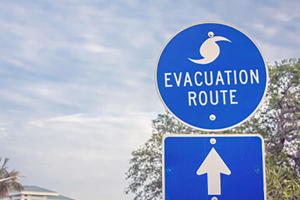
- As a generational storm, Sandy sparked a renewed drive towards resiliency for our coastal communities. Higher building elevations, better flood control measures, the importance of a good dune system, and elevated roadways and evacuation routes are just some examples.
There will never be another Sandy. But whatever the next storm is called, we’ll hopefully be better prepared because of Sandy.
Meteorologist Dan Skeldon has a degree in meteorology from Cornell University. He has forecasted the weather in South Jersey for the last 18 years, first on the former television station NBC40 and then on Longport Media radio. Dan has earned the American Meteorological Society Seal of Approval for Broadcast Meteorologists, and now does television broadcasts on WFMZ-TV in Pennsylvania’s Lehigh Valley.


